


CURRENTLY TRACKING: Dry conditions will persist through Thursday, with showers returning Thursday night and on Friday. Additional rain chances are expected during the weekend.

NEXT 24 HOURS:

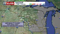
- Air Quality & Visibility: Some haze remains possible for areas near the Wisconsin River on Thursday; otherwise, air quality and visibility is far better compared to Wednesday
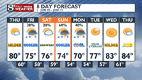
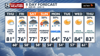
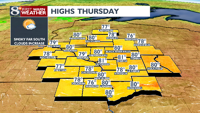
- Thursday: The day will start with plenty of sunshine. Cloud cover will increase in the afternoon, particularly near or north of Eau Claire. A weak disturbance may bring showers to these areas by sunset. Temperatures will rise to the upper 70s, with some locations possibly reaching or exceeding 80 degrees.


LOOKING AHEAD - 8 THINGS TO KNOW
- Thursday Night:
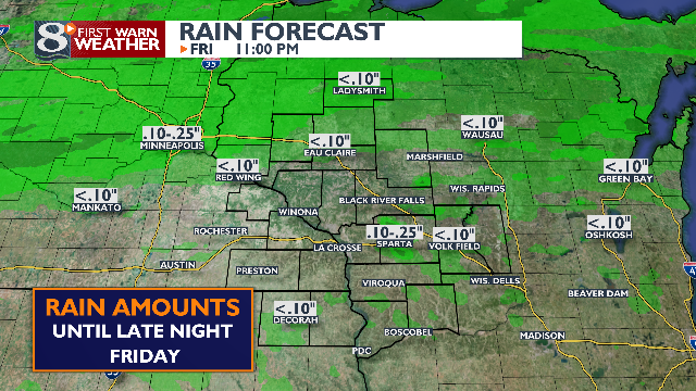
- A few showers late, mainly along I-94 tracking out east
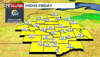
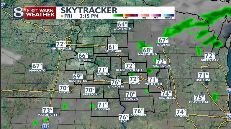
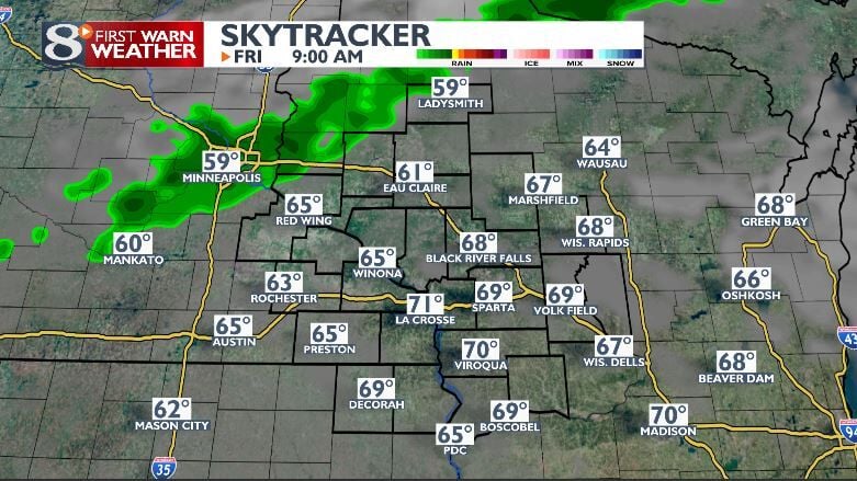
- Friday:
- A slight drop in high temperatures is expected, especially along and north of I-94, where temperatures will return to the 60s there but widespread 70s southward
- Light rain showers with decreasing coverage/changes towards sunset
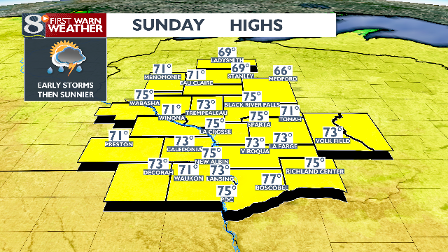
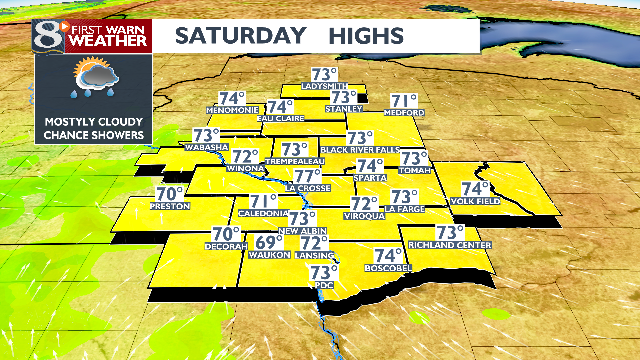
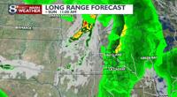
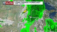
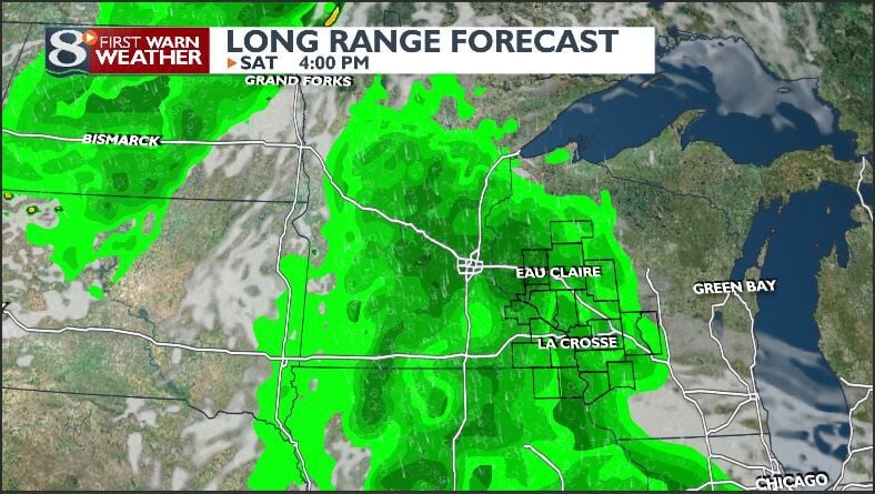
- Saturday and Sunday:
- Saturday: Highs in the 70s.
- Sunday: Temperatures will drop to the 60s/70s due to a passing cold front.
- Morning showers and storms break apart with fewer afternoon clouds and shower chances. Better chances for storms Saturday night and on Sunday morning
- Weekend Severe Threat:
- Not anticipated from the cold front this weekend.
- Monday and Tuesday:
- Cooler conditions with highs in the upper 60s to mid-70s.
- Showers remain possible on Monday.
- Wednesday Onward:
- High temperatures will return to the 80s for most locations and remain there for the rest of the workweek.
- Humidity levels will start to rise by Friday.
- End of Work Week and Following Weekend (14th and 15th):
- Showers and thunderstorms chances return by Friday and continue through the weekend.
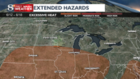
- Potential for warm by the weekend (14th and 15th):
- Best chances for very warm or even hot conditions exist south of the area at this time; however, that could change


COPYRIGHT 2024 BY NEWS 8 NOW/NEWS 8000. ALL RIGHTS RESERVED. THIS MATERIAL MAY NOT BE PUBLISHED, BROADCAST, REWRITTEN OR REDISTRIBUTED.